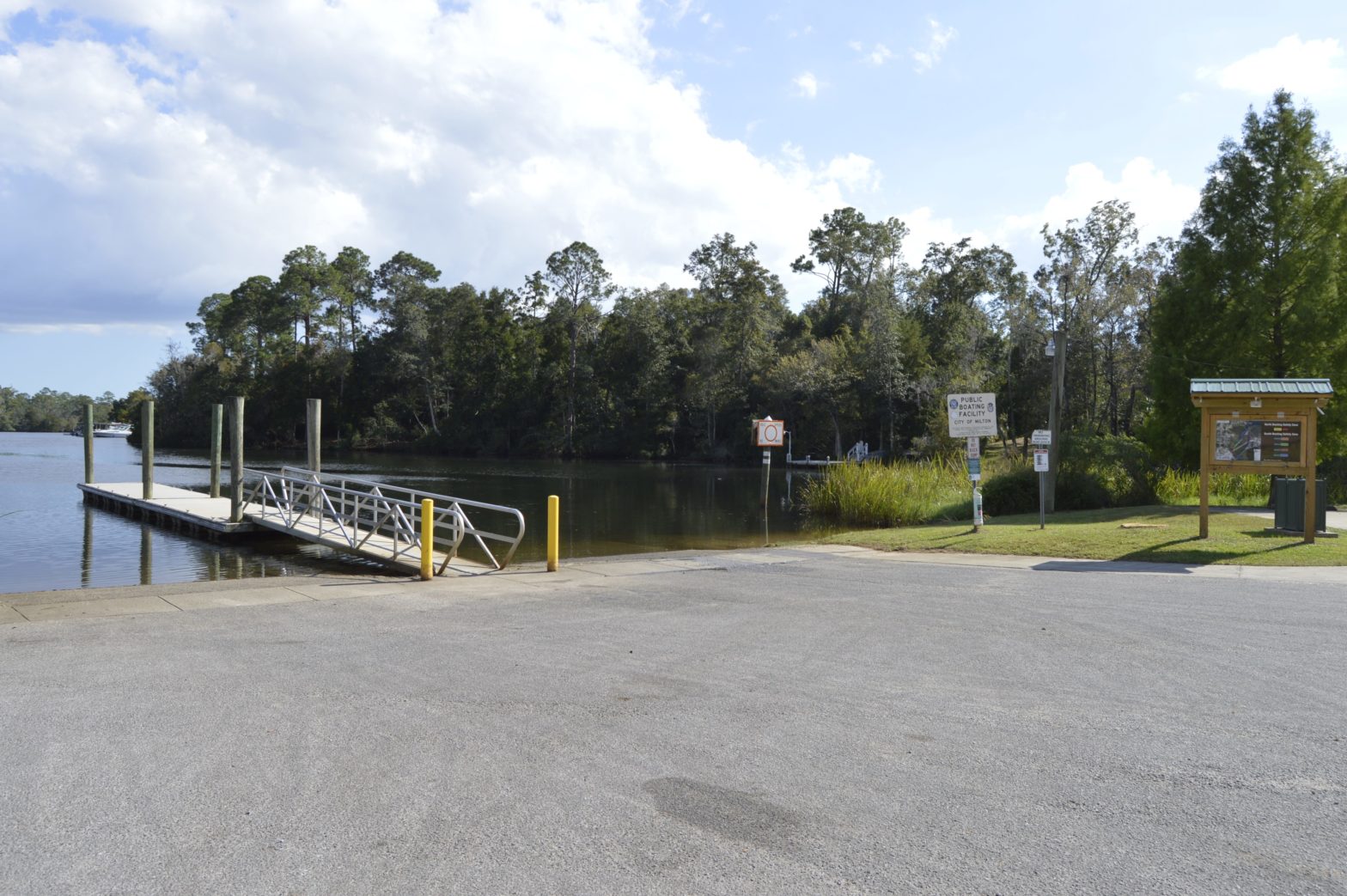
![The Blackwater Maritime Heritage Trail will begin at Carpenter's Park and follow the Blackwater River for 25 miles. [File photo]](http://127.0.0.1/wordpress/wp-content/uploads/2022/01/ghows-DA-5b944925-a88c-6dcc-e053-0100007f2d28-04463dc3-scaled.jpeg)
Editor’s Note: This continues our Celebrate Community series on nonprofit organizations that improve Santa Rosa County residents’ quality of life.
MILTON — The Bagdad Waterfronts Florida Partnership — united with the University of West Florida, the Bagdad Village Preservation Association and the Blackwater Pyrates — are almost ready to introduce the Blackwater Maritime Heritage Trail project.
The organizations joined forces approximately three years ago to begin this project, which will include a virtual tour along the Blackwater River for 25 miles from Carpenter’s Park to Escribano Point, along with other physical elements such as brochures, waterproof maps and three educational kiosks.
“What you will be able to access will tell you about what’s above ground, what was above ground and what’s under water,” BWFP Vice President Richard Lewis said. “What we’re trying to do is make all of that information available to you, along with some wonderful underwater photography [UWF] has done, and give you some history of the river, as well.”
According to Lewis, there are numerous shipwrecks in the Blackwater River, one of which is a steamboat. The maritime heritage trail will tell you about these shipwrecks, but will not give their locations.
“We have contracted with a company called 360, and what they do is photograph all of these areas,” Lewis said. “We also have a member, who is an expert in drones, and he’s done overhead shots, so you’ll be able to see the river from a bird's eye view, as well.”
The total cost of the project is approximately $30,000. The project received $750 from Santa Rosa County’s Tourist Development Council, a $10,000 grant from Florida Coastal Management Program earlier this year, a $10,000 grant from the Florida Greenways and Trails Foundation and numerous contributions from the Blackwater Pyrates and BWFP members.
The organization plans to print the information so those without smart phones can also participate.
“All of this, we hope to have finished by the end of this year,” Lewis said. “It’s a very expensive process, but we have the finances to do it now.”


This article originally appeared on Santa Rosa Press Gazette: Mapping the river