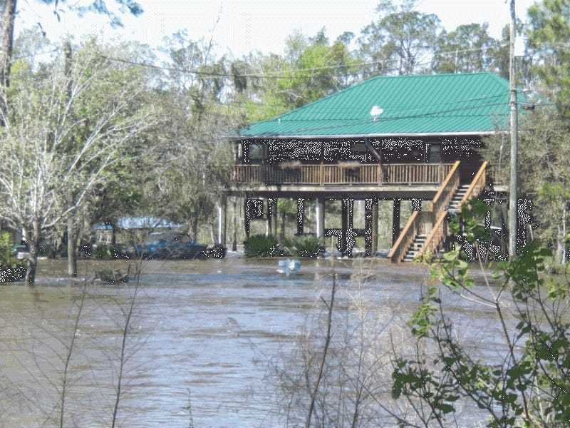

MILTON — The Federal Emergency Management Agency recently released updated flood hazard maps for public review and comment before final adoption.
All residents, property owners and businesses should review these preliminary maps to ensure they have adequate flood insurance when the new maps take effect. Once approved, the new flood zones will be used to set flood insurance rates.
The preliminary interactive flood maps are available at www.santarosa.fl.gov under Floodplain Management.
FEMA representatives will be available on these days to answer questions about the new maps:
Wednesday, Sept. 28, 4-7 p.m.: Public Services Media Room, 6051 Old Bagdad Highway in Milton
Thursday, Sept. 29, 4-7 p.m., Tiger Point Community Center, 1370 Tiger Park Lane in Gulf Breeze
"There are some significant changes. The last whole-county flood map revision was in 1985," said Karen Thornhill, floodplain manager. "We encourage all of the residents of Santa Rosa County to find their flood zone, attend a meeting to ask questions and be sure they have ample flood insurance."
Residents can appeal their flood zone during the 90-day public comment period to occur sometime between November 2016 and April 2017.
Contact Karen Thornhill, 981-7029, for more information on flooding.
This article originally appeared on Santa Rosa Press Gazette: FEMA updates Santa Rosa flood hazard maps